
Resources
This page provides datasets, visualization tools, and reproducible resources developed for monitoring China’s coastal ecosystems. Each resource will include dataset documentation, spatial and temporal coverage, data-access links, recommended citations, and an interactive Google Earth Engine explorer where available.
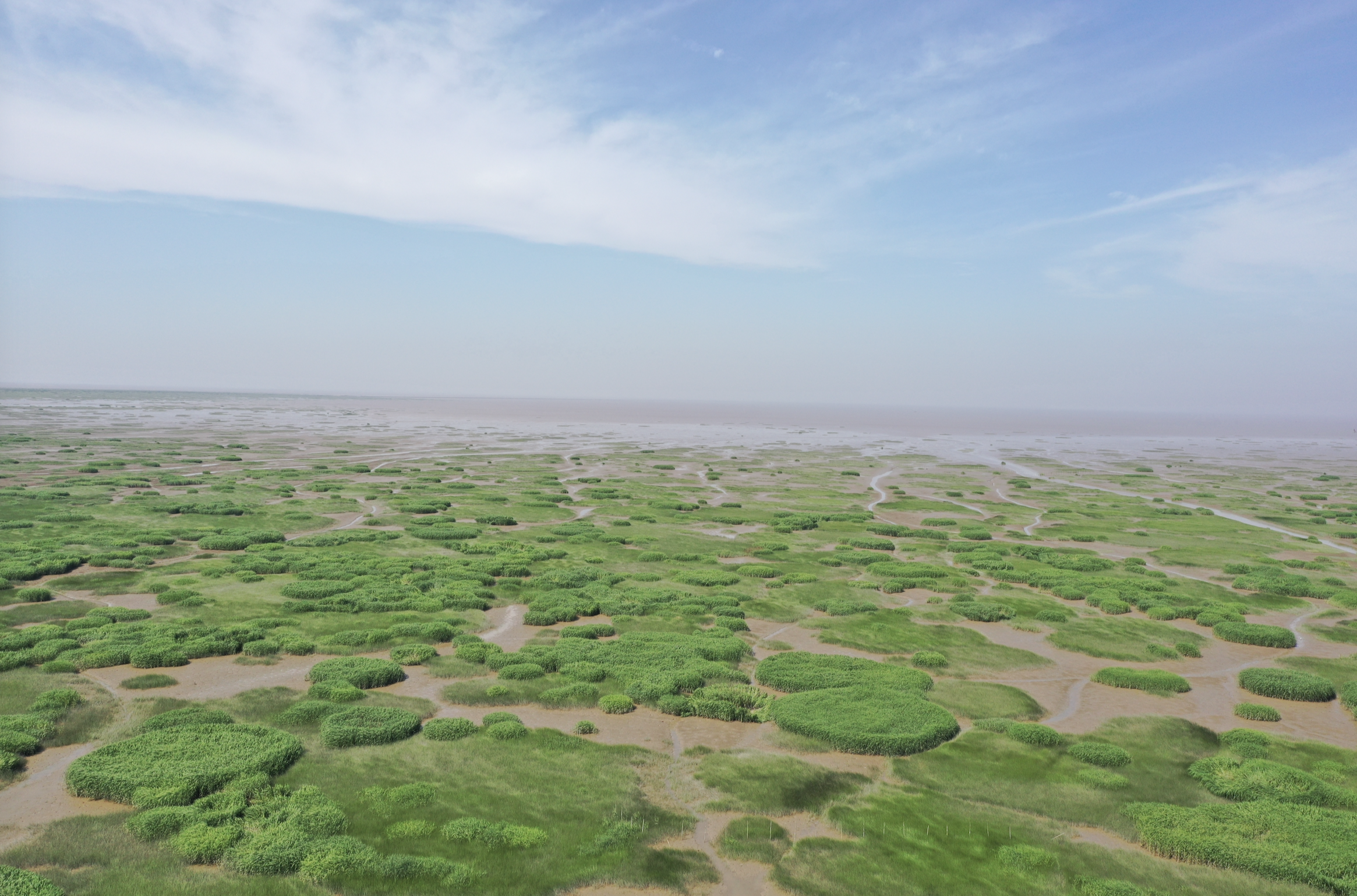
China Coastal Salt Marsh Dataset
A national-scale dataset describing the distribution and dominant vegetation communities of coastal salt marshes in China. It provides a consistent baseline for studying salt-marsh distribution, invasive Spartina alterniflora, native vegetation communities, habitat conservation, and coastal restoration.
- Coverage: Coastal mainland China
- Reference year: 2019
- Spatial resolution: 10 m
- Source: Sentinel-1 SAR time series
- Classes: Spartina alterniflora, Phragmites australis, Suaeda spp., and Scirpus spp.
- Overall accuracy: 87.3%
- Status: Preparing for release

China Coastal Tidal Flat Dataset
A multi-temporal dataset for monitoring the distribution and evolution of tidal flats along China's coast. It is designed to support research on tidal-flat loss and expansion, reclamation, salt-marsh encroachment, coastal erosion, habitat change, and regional restoration.
- Coverage: Coastal mainland China
- Temporal coverage: 1990–2020
- Temporal interval: Approximately three years
- Source: Landsat 5 and Landsat 8
- Reported accuracy: Above 95%
- Products: Tidal-flat extent maps and change layers
- Status: In preparation
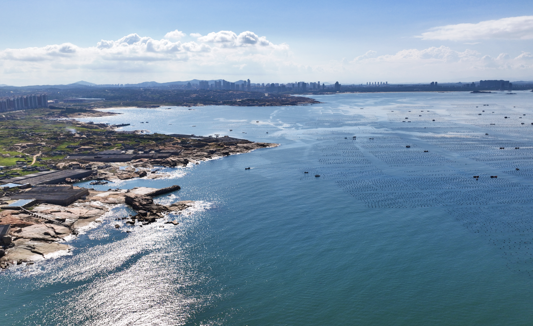
China Coastline Datasets
A collection of multi-temporal coastline products designed for analysing shoreline migration, land reclamation, coastal erosion, and interactions among shorelines, tidal flats, and coastal vegetation.
- Coverage: Coastal mainland China
- Temporal coverage: To be confirmed
- Products: Coastline vectors, change rates, and regional subsets
- Planned formats: Shapefile, GeoJSON, and GEE FeatureCollection
- Status: Planned release
Planned Documentation
Each released dataset will include version and release date, licence, recommended citation, DOI or repository link, file size and coordinate system, change log, Google Earth Engine asset ID, and reproducible usage instructions.